top of page
Professional Drone Services
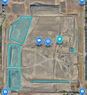
Drone360 Imagery provides professional drone services across Alberta, delivering high-quality aerial photography, cinematic video, LiDAR mapping, thermal inspections, multispectral analysis, and precision drone mapping solutions. We support industries including construction, real estate, infrastructure, agriculture, energy, and residential projects with accurate, efficient, and scalable drone data. From visual media to survey-grade deliverables, our drone services help clients plan smarter, document progress, and make informed decisions from the air.


bottom of page